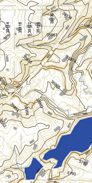
Chagrin Valley Engineering, Ltd. (CVE) has proven experience in designing, implementing, and maintaining Geographical Information Systems (GIS).
GIS provides an efficient mechanism to compile, store, analyze and retrieve geographically based data.
GIS protects institutional knowledge, improves response time and reduces errors. GIS is also an extremely powerful planning tool utilizing graphical presentation of data to assist our clients in evaluating conditions and determining infrastructure solutions.
Experience has shown that clients find new applications and diverse uses as more data is integrated into the GIS database. CVE recognizes the potential for this growth and implements strategies to eliminate duplication of efforts in the future. CVE designs systems that are tailored to support both the end users and the decision makers in each of our client organizations.
Our full range of GIS services include:
Creation and Maintenance of Municipal Infrastructure GIS
Infrastructure Condition & Maintenance
Economic Development Mapping
Revenue Collection
Demographic Mapping
Critical Infrastructure Planning
Water Resource Mapping
Utility Customer Service Areas
CVE utilizes ESRI Inc. software to create, maintain and deploy GIS systems. This flexible and dynamic software is the industry standard and has the ability to accept the import of data from over seventy different file formats. CVE also has the capability to construct custom mobile data gathering applications. GIS data can be seamlessly integrated into websites to enhance the presentation of information to the public.


